


Description
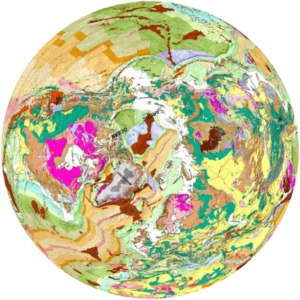
Several paleogeographic hemisphere time periods are available in our Earth History Pangaea 18 inch globes. The maps for these globes were thoughtfully produced by geologist Christopher R. Scotese. To make the most of your learning, we suggest purchasing two hemispheres to display together or separately. Because 70% of our planet was comprised of the Panthalassic Ocean, pairing two hemispheres allows you to replace this oceanic space with more land detail – giving a broader picture of the past. Our Dual Pangaea globe allows you to choose any two time periods to be displayed together on a single globe to illustrate continental drift over time. As both a scientific display and study tool, this globe is perfect for the classroom or for anyone interested in our planet’s geological history.
Time periods now available on hemisphere maps:
-
- Ordovician
- Devonian
- Mississippian
- Permian
- Triassic
- Political Triassic
- Early Jurassic and late Jurassic
- Early Cretaceous and middle Cretaceous
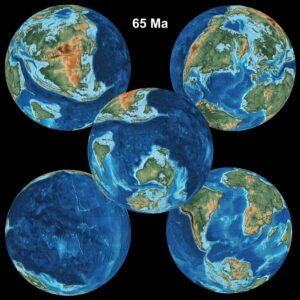
- KT Boundary
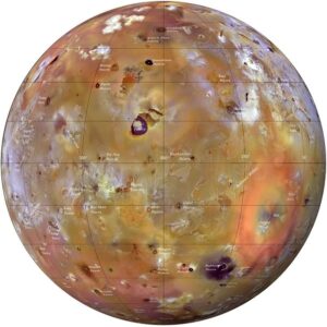
- KT Boundary as a complete globe (this is when meteorite hit Yucatan and caused Iridium layer all over the earth, this is the Chixulub impact crater)
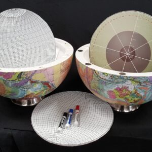
We offer the hemispheres separately which can be mounted on wall or used on tabletop. For wall mounting, we provide mounting hooks.
Examples: One of our photos shows preparation for Vertebrate Paleontology meeting (www.vertpaleo.org) in Brisbane, Australia. Three Pangaea hemispheres were featured, three Dual Pangaea globes plus Seafloor Anomaly and Geology Globe of the World.
Panthalassa, also known as the Panthalassic Ocean or Panthalassan Ocean, was the superocean that surrounded the supercontinent Pangaea. During the Paleozoic–Mesozoic transition c. 250 Ma it occupied almost 70% of Earth’s surface.
There are 5 Mezosoic Era maps:
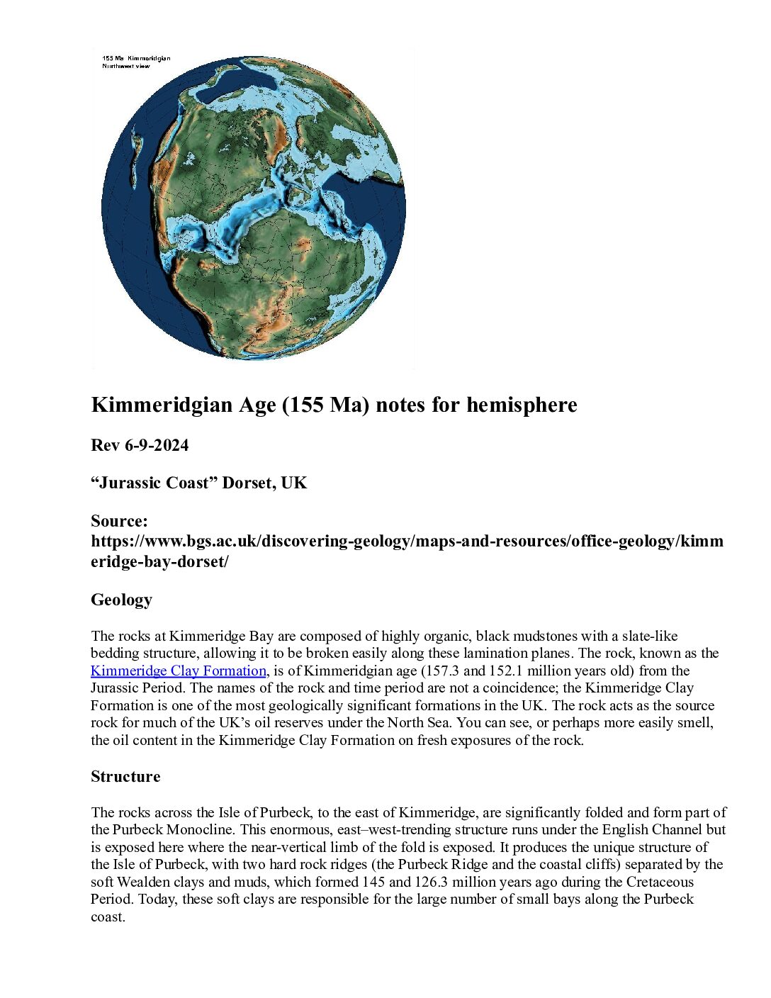
Triassic 230 Ma, Jurassic 190 Ma, Kimmeridgian Jurassic 155 Ma ,Cretaceous 140 Ma and the Western Interior Seaway, 95 Ma.
There are 4 Paleozoic maps:
Permian 300 Ma, Mississippian 325 Ma, Devonian 390 Ma, Ordovician 470 Ma.
There is the Political Pangaea (Triassic), which shows approximate locations for modern countries during that time period and is a good learning tool.
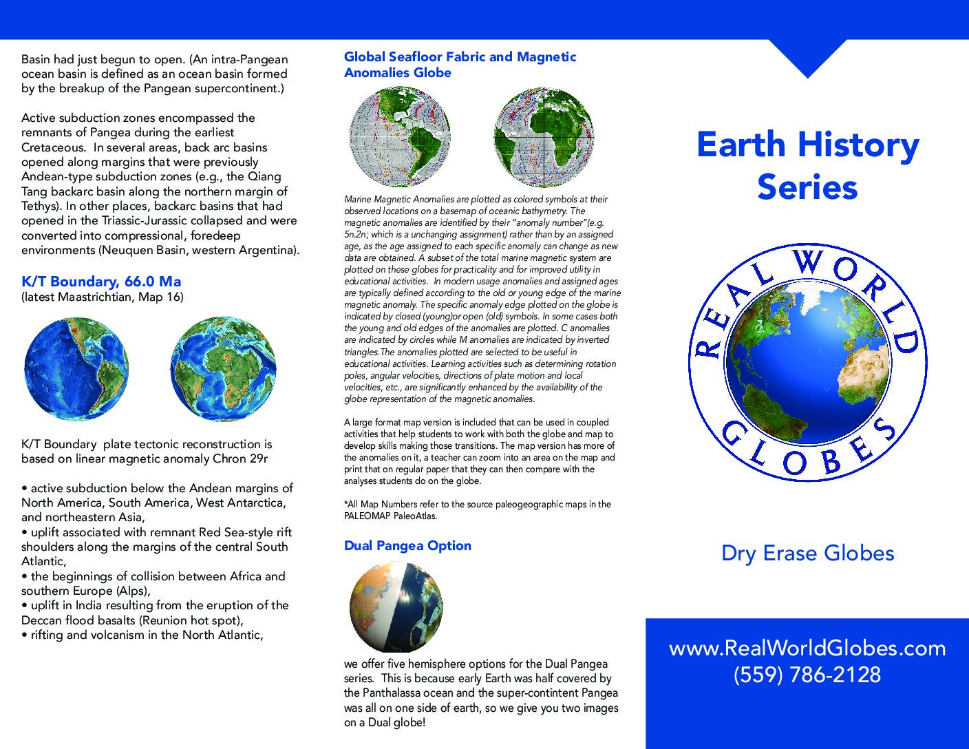
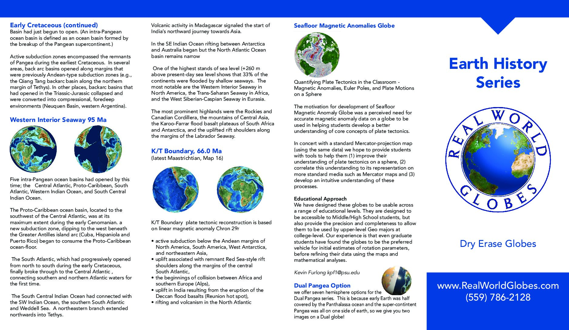
By the time of the KT Boundary event 66 Ma, the tectonic plates had moved far enough apart, so you can buy a KT Boundary Globe.